Research

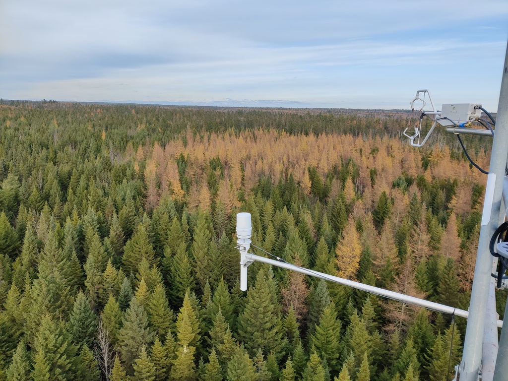
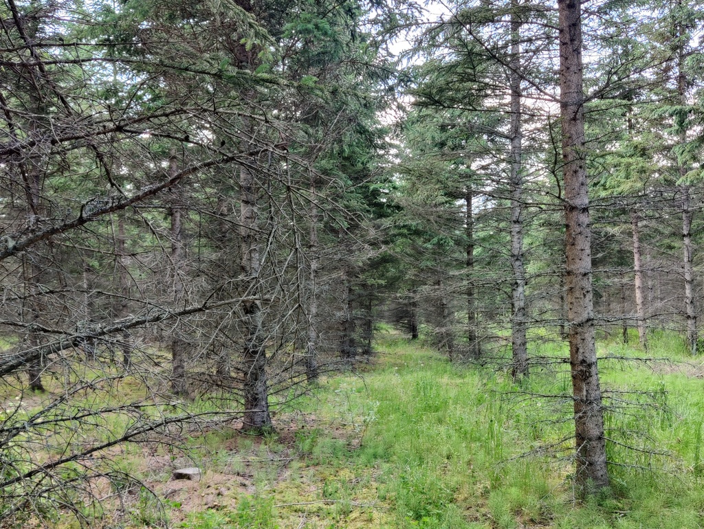
Remote sensing forest carbon cycle dynamics

Leveraging eddy covariance, automated above- and below-ground dendrometers, and drone- and satellite-based remote sensing to assess the timing and allocation of carbon uptake and storage in a mixed Acadian Forest
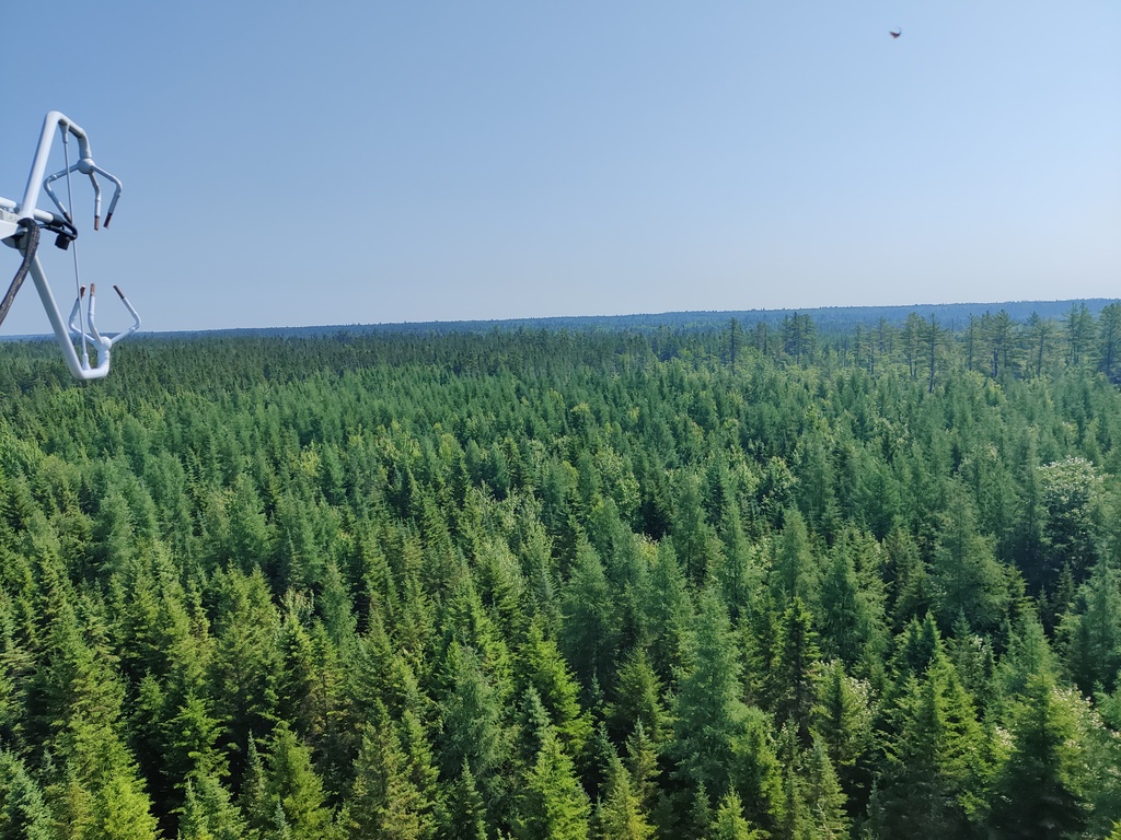
Drone-based LiDAR for enhanced forest inventory

Applying drone-based LiDAR for forest inventories, growth-yield modelling, and predicting tree architecture

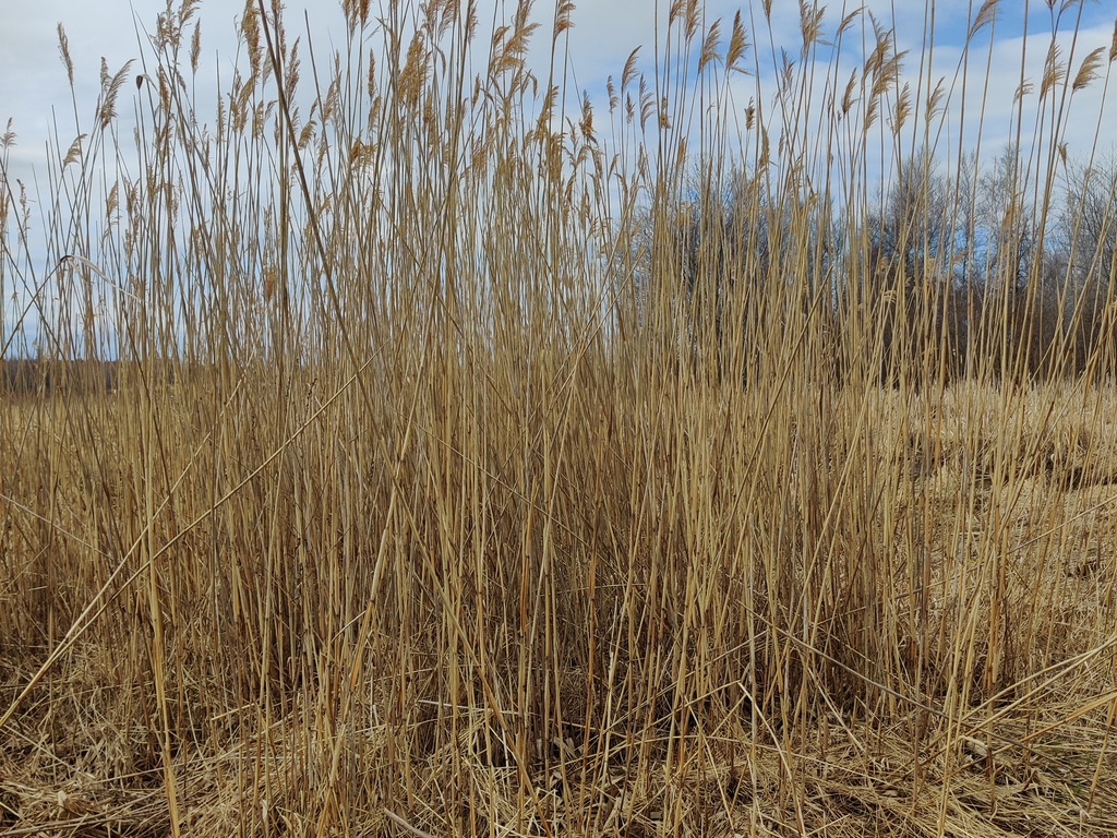
Mapping and understanding spread of invasive phragmites plants

Field surveys and drone- and satellite-based remote sensing to map invasive Phragmites in NB and to understand their spread and growth rates

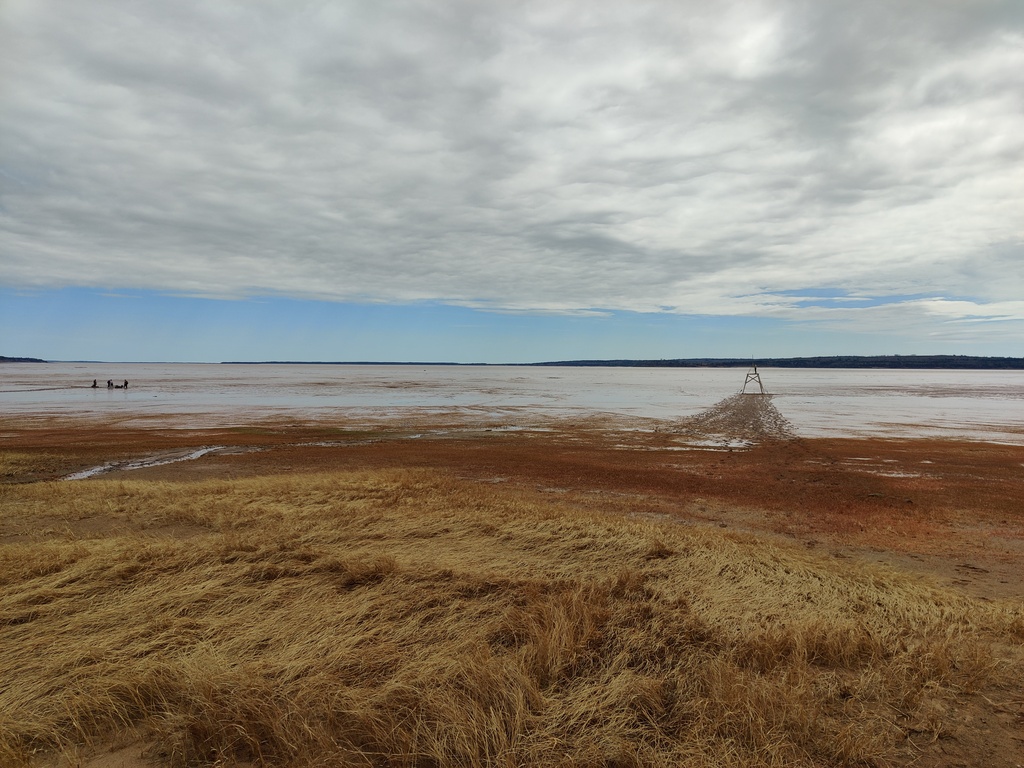
Remote sensing of coastal mudflat carbon sequestration

Using handheld-, drone-, and satellite-based remote sensing to delineate vegetation coverage and quantify biofilm activity in coastal NB mudflats 

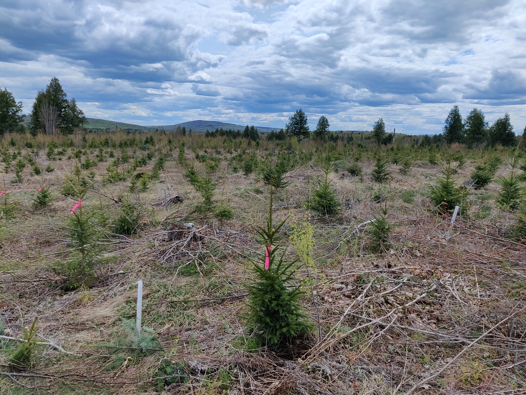
High-throughput phenotyping for drought tolerance

Greenhouse screening of spruce seedling genotypes using multispectral and hyperspectral remote sensing to assess drought tolerance and resilience

Remote sensing of pest disturbance

Drone- and satellite-based multispectral remote sensing with insect traps to assess insect presence and activity and development of early detection

Wildfire fuel assessment

Field surveys and drone-based remote sensing to quantify fire fuels in Acadian Forest blowdown impacted stands